The Allimas pass
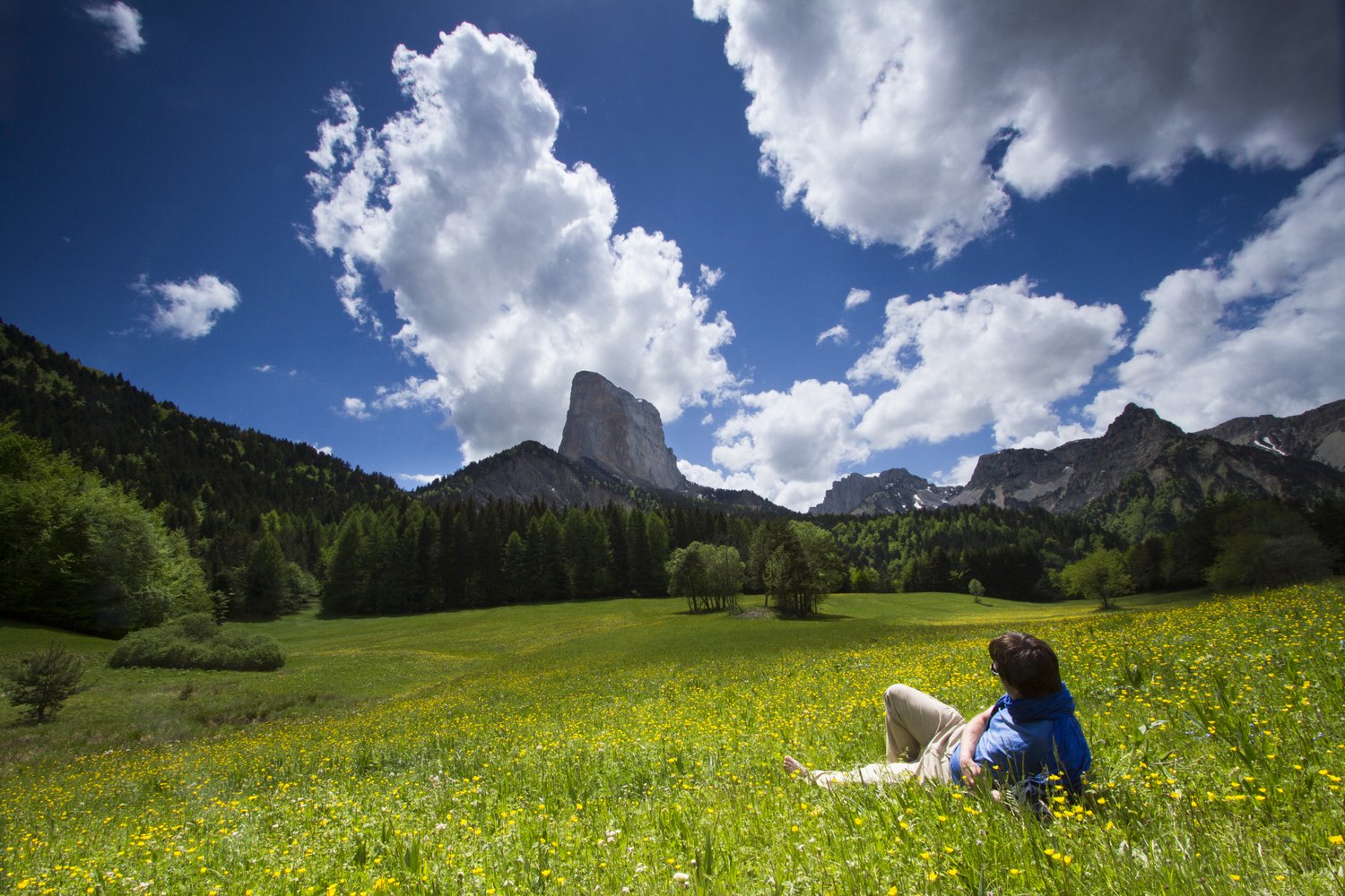
Gresse-en-Vercors
The Allimas pass
2h
6,8km
+264m
-244m
Embed this item to access it offline
From the village of Gresse-en-Vercors, walk beautiful paths between meadows and woods to reach the Col de l'Allimas and its view on the famous Mont Aiguille.
5 points of interest
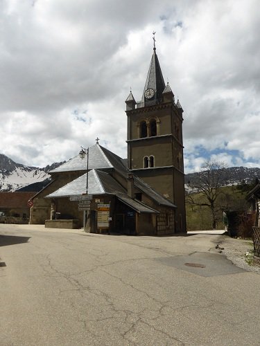
Eglise de Gresse-en-Vercors - PNRV Gresse-en-Vercors
Gresse-en-Vercors is a small ski resort of 400 inhabitants, nestled between the eastern border of the Vercors and the Serpaton mountain pasture. The village church was built in the traditional style of the old mountain chapels. It is the oldest monument in the Gothic style of the region. Its construction goes back to the 13th century for its lower part. A great quantity of its very beautiful stones were carved on the high plateaux of the Vercors at about 1800 meters of altitude.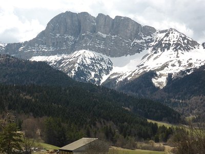
Le Grand Veymont 2341m - PNRV Grand-Veymont
Gresse-en-Vercors is dominated to the south by the Grand Veymont, located in the Hautes-Plateaux reserve of Vercors, it is with its 2341 m the climax of the massif. The Pas de la Ville to the north of the Grand Veymont allows to reach the High Plateaux. It is one of the few passages that connects Gresse-en-Vercors to the heart of the massif.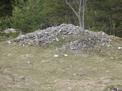
Murgers (PNRV) - PNRV Murgers
The name would come from a Burgundian word. It is true that from Bourgogne to the Ardèche, the stones grow well in limestone fields! These piles of pebbles at the edge of the field are the result of the stoning patient, over time, realized by generations of obstinate peasants to gain arable land. Sometimes, they are mounted in low walls to delimit enclosures and plots.It is also a beautiful refuge for rampant wildlife in search of shelter.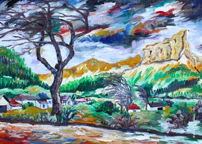
A. Lyoubovin Romantic Mont Aiguille
The Romantic movement reached its peak in the 19th century. Mont Aiguille became a key subject of landscape paintings, often in tandem with agricultural scenes that depicted an ideal of harmony. Mont Aiguille offered these Romantic artists an aesthetic that you can explore from the various angles offered by the surrounding summits and plateaus.
The style of the period depicts an idealised Mont Aiguille, the symbol of nature in all its harmony. Humans make only discreet appearances, pictured performing their daily tasks or in contemplation. The paintings convey a serenity and tranquillity that contrasts strongly with the hustle and bustle of our lives in the modern world.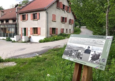
B. Brun-Cosme Uclaire
In the autumn of 1943, a handful of Resistance fighters set up here in the hamlet abandoned by the Scouts and Skiers Section of the 6th Battalion of Alpine Infantrymen. They spent the winter of 1943-1944 under the command of Louis Kalck (André), with Robert Adage serving as liaison officer. Their numbers rose in the spring of 1944. The camp consisted of 37 men in July, nearly all of whom came from the region, with Achille Demaret (Potin) in command. They left in haste on July 3, 1944 after being warned about the attack by the German convoy at the Allimas pass, before making their way to the Resistance in the Vercors. The next day, July 4, the Germans destroyed the site they had left behind, burning the hamlet to the ground.
Description
Departure from Gresse-en-Vercors near the church, take the direction of Col de l'Allimas 3. Leave the village to join the Pas du Bru 1 then Combe Rouge 2 to the South. At the Col de l'Allimas, enjoy the magnificent view of the famous Mont Aiguille. The return to the village of Gresse-en-Vercors takes place between meadows and undergrowth until Uclaire 4. The path after crossing the Aulanier stream joins the road from the Pas du Bru. The walk ends in the same itinerary as on the way.
- Departure : Gresse-en-Vercors (parking village)
- Arrival : Gresse-en-Vercors (parking village)
- Towns crossed : Gresse-en-Vercors
Forecast
Altimetric profile
Recommandations
Use the passageways to cross the fences, close the gates and barriers.
Stay on the marked paths is also respect private property.
Stay on the marked paths is also respect private property.
Information desks
43, route du Grand-Veymont, 38650 Gresse-en-Vercors
Access and parking
From Grenoble, take the A51 south to Monestier-de-Clermont. Then take the direction of Gresse-en-Vercors via the D8.
Parking :
parking in the village
Report a problem or an error
If you have found an error on this page or if you have noticed any problems during your hike, please report them to us here:
