Ramiat

Sainte-Croix
Ramiat
4h
11,3km
+611m
-613m
Embed this item to access it offline
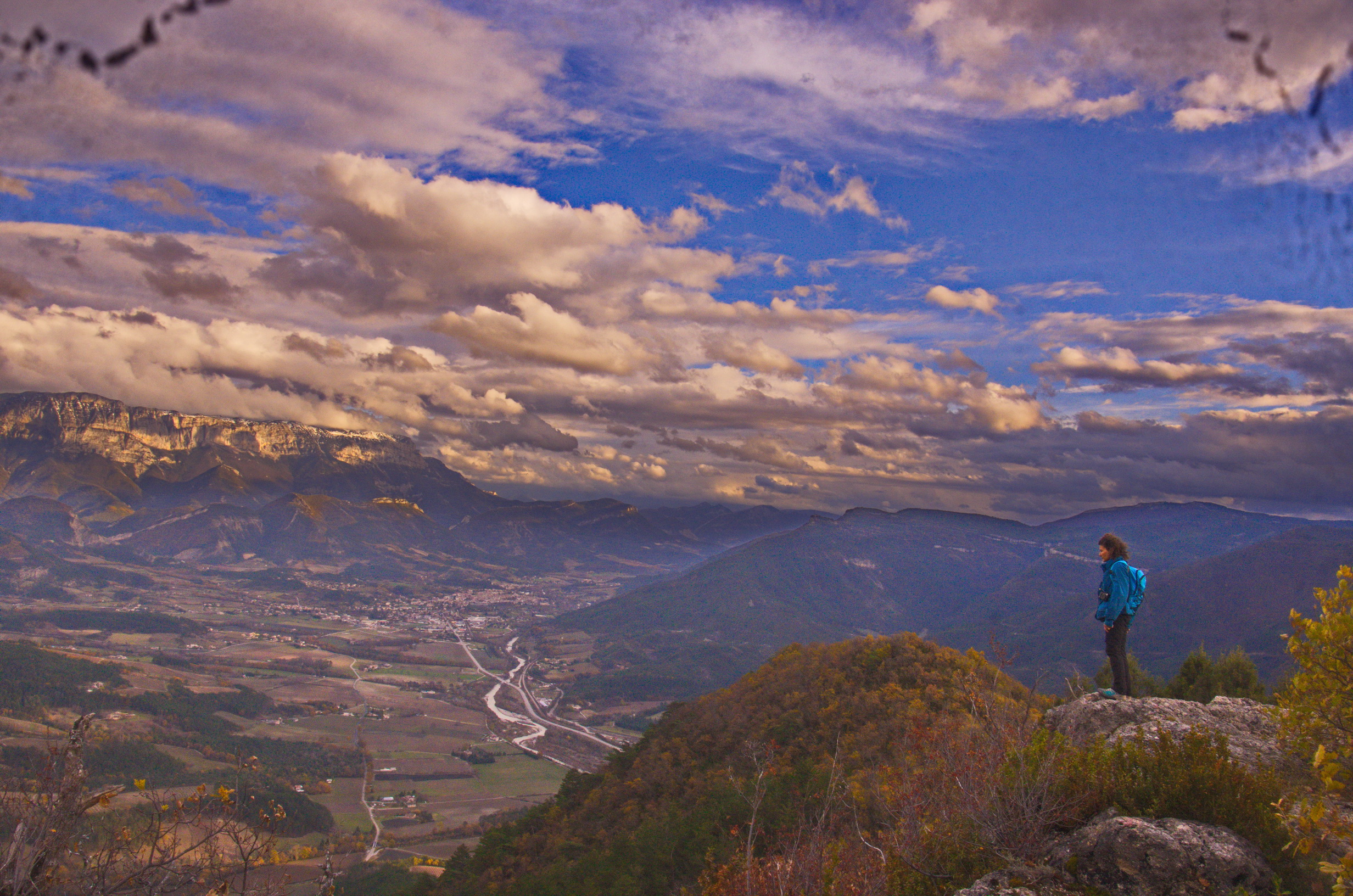
This pleasant stroll makes you discover in particular the pine forest of Val de Quint and nice panoramas on the Diois.
Description
The start of this beautiful hike takes place from the village of Sainte-Croix. At the Pont de la Sure 1, take on the left the small road that leads to the places "Les Morins" and then "L'Eguillot". From there, take the forest road which climbs gradually sometimes in undergrowth sometimes in the middle of glades to finally reach the crossroads of Pallaire 2. Another little effort to reach the Crête de Ramiat 3 and enjoy the panorama offered. To return to Sainte-Croix, go down to Combe Mare 4 then Pierre Plate 5 and Les Bouines 6, before finishing the route by road to the village.
- Departure : Sainte-Croix (parking village)
- Arrival : Sainte-Croix (parking village)
- Towns crossed : Sainte-Croix and Ponet-et-Saint-Auban
Forecast
Altimetric profile
Sensitive areas
Along your trek, you will go through sensitive areas related to the presence of a specific species or environment. In these areas, an appropriate behaviour allows to contribute to their preservation. For detailed information, specific forms are accessible for each area.
Golden eagle
- Impacted practices:
- , ,
- Sensitivity periods:
- JanFebMarAprMayJunJulAug
- Contact:
Recommandations
Use the passageways to cross the fences, close the gates and barriers.
Stay on the marked paths is also respect private property.
Stay on the marked paths is also respect private property.
Information desks
Access and parking
From the D93 take the D129 to Sainte-Croix; A parking lot is at the entrance of the village.
Parking :
At the entrance of the village.
Report a problem or an error
If you have found an error on this page or if you have noticed any problems during your hike, please report them to us here:
