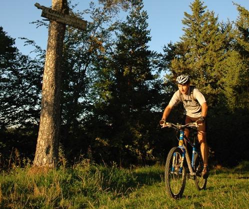
The red shelter (Diois n°3)

Marignac-en-Diois


The red shelter (Diois n°3)
1h30
10,6km
+324m
-325m
Embed this item to access it offline
Dominating a vast terrace on which the culture of lavender is omnipresent, Marignac offers an incomparable view on the mountain of Glandasse.
A little loop to discover in family, then to your Mountain Bike, for a good moment of relaxation!
A little loop to discover in family, then to your Mountain Bike, for a good moment of relaxation!
Description
Departure from the village of Marignac-en-Diois (parking nearby). Follow the direction of Die but especially the beacons indicating the circuit n ° 3 on the different directional panels along the course.
At Jayon, join Les Pérouses before turning left onto Les Chambards and Les Combes.
Continue towards the hamlet of La Rollandière to emerge at the intersection of Genêts. From there, always follow the yellow and green signs to go to La Cabane Rouge, then descend gradually to Font Payanne. You are then again on the route of the Grande Traversée du Vercors mountain bike / equestrian that you borrow up to the village.
- Departure : Village of Marignac-en-Diois (parking)
- Arrival : Village of Marignac-en-Diois (parking)
- Towns crossed : Marignac-en-Diois and Chamaloc
Forecast
Altimetric profile
Information desks
Access and parking
From Die take the D543a towards Marignac-en-Diois, at the place called La Roche take on the left to join the center of the village (parking).
Parking :
Large parking lot at the place "Jayon"
Report a problem or an error
If you have found an error on this page or if you have noticed any problems during your hike, please report them to us here:
