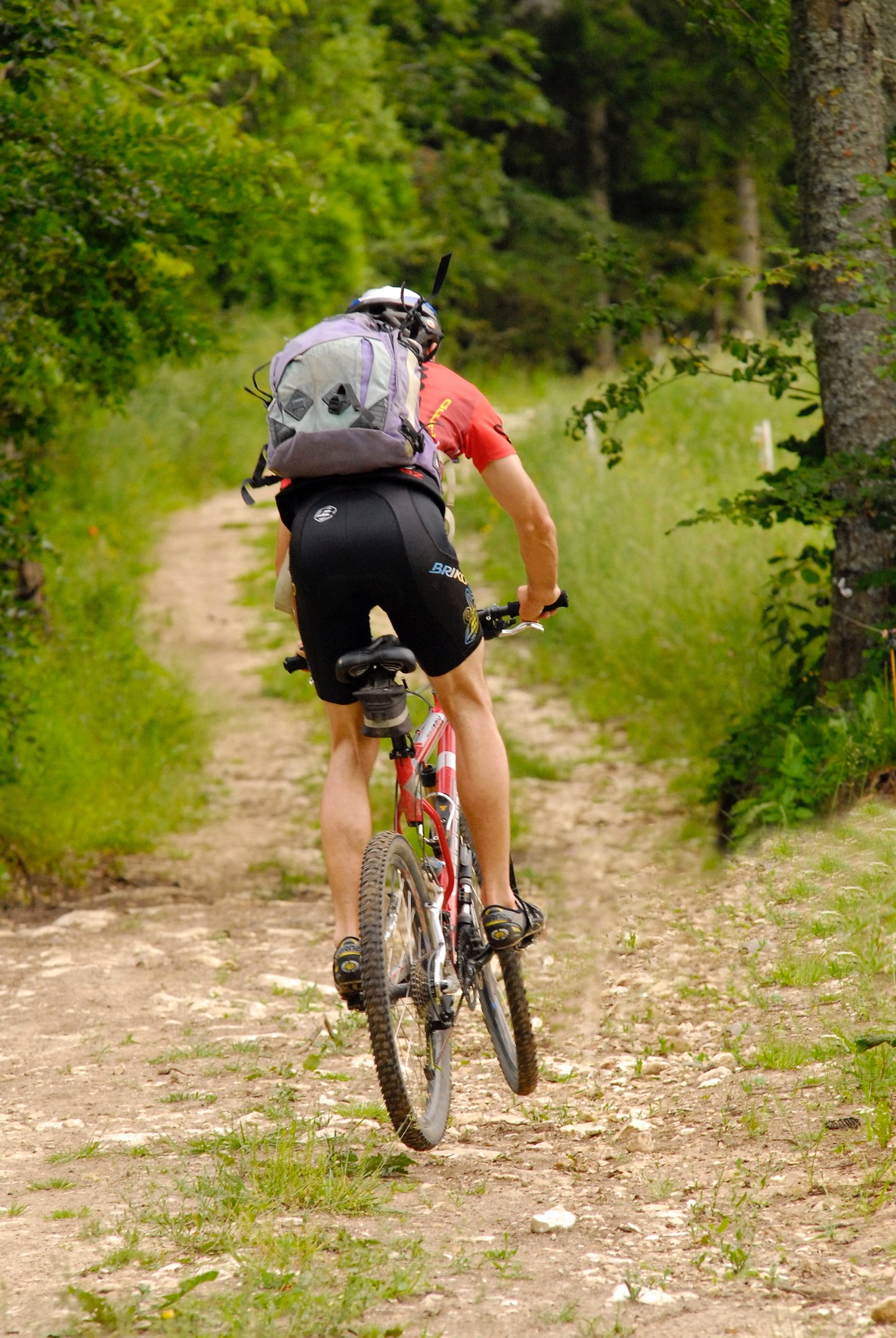
The Croisettes - Coulmes forest (Coulmes-Royans n°19)

Malleval-en-Vercors
The Croisettes - Coulmes forest (Coulmes-Royans n°19)
1h
6,9km
+252m
-250m
Embed this item to access it offline
In Patente go with your children to discover the king of Coulmes. An original and fun discovery trail to discover the natural heritage of this territory.
You will also find "dolines", holes in the meadows but which are often born from a collapse of the rock.
You will also find "dolines", holes in the meadows but which are often born from a collapse of the rock.
Description
Departure from the crossroads of Patente, descend to the Fontaine de Bury 1 then the Prairie de Ganasse 2.
Continue towards Clos Michet 3 and the Clos Michet car park, before taking the forest road for a few hundred meters.
Always follow the beacons of the MTB circuit n ° 19 Blue and mark the yellow and green paint between each directional panel. At the Croisettes 4, the trail sets off again towards the north in the undergrowth to join the Clairière de Patente 5 then Patente.
- Departure : Parking place name Patente
- Arrival : Parking place name Patente
- Towns crossed : Malleval-en-Vercors, Izeron, Saint-Pierre-de-Chérennes, and Presles
Forecast
Altimetric profile
Sensitive areas
Along your trek, you will go through sensitive areas related to the presence of a specific species or environment. In these areas, an appropriate behaviour allows to contribute to their preservation. For detailed information, specific forms are accessible for each area.
Golden eagle
- Impacted practices:
- , ,
- Sensitivity periods:
- JanFebMarAprMayJunJulAug
- Contact:
Recommandations
Use the passageways to cross the fences, close the gates and barriers, stay on the marked paths.
Stay on the marked paths is also respect private property.
Stay on the marked paths is also respect private property.
Information desks
48 Grande Rue, 38680 Pont-en-Royans
Access and parking
From Pont-en-Royans, take the direction of Presles via the D531 then the D292. In the hamlet of Faz, take the forest road to Patente.
From Villard-de-Lans take the direction of the Gorges de la Bourne by the D531 until the Balme-de-Rencurel, from there take the direction of the Col de Romeyère by the D35. At the pass, take the Mont Noir forest road.
From Villard-de-Lans take the direction of the Gorges de la Bourne by the D531 until the Balme-de-Rencurel, from there take the direction of the Col de Romeyère by the D35. At the pass, take the Mont Noir forest road.
Parking :
Parking name place Patente
Report a problem or an error
If you have found an error on this page or if you have noticed any problems during your hike, please report them to us here:
