Claveyrons path around (mountain bike Royans Vercors - circuit n°10)

La Chapelle-en-Vercors


Claveyrons path around (mountain bike Royans Vercors - circuit n°10)
2h30
25,1km
+786m
-786m
Embed this item to access it offline
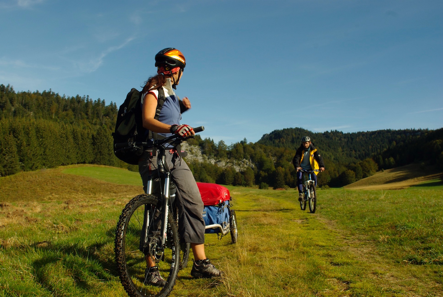
Not very technical climbs, beautiful trails in the forest, fast descent and original partly on sandy ground.
A pretty technically easy loop around the Bois des Scies.
A pretty technically easy loop around the Bois des Scies.
1 point of interest

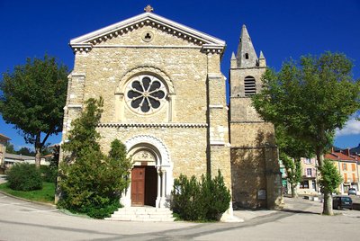
L'église de La Chapelle-en-Vercors - E. Charron The reconstruction of the village
The start of the hike takes you past the church. Its bell-tower (listed) of the twelfth century is one of the rare buildings that escaped the bombing and the fire of the village in July 1944. If the houses all have a similar architecture, it is because they were completely rebuilt from 1948 onwards. It is in temporary buildings (some of which are still visible at the exit of the village towards Vassieux) that the inhabitants lived for six years for some, in particular the very cold winters 1946 and 47.
Description
- Departure from the Chapelle-en-Vercors Tourist Office (central square), always follow the MTB n ° 34 Red tags all along the circuit. Go to the place named Les Bruyères, Rea Biquet, Mortier, Les Grands Chemins, Les Matous, Les Talivières, La Franconnière, Le Chargeau, Les Réveilles, Libouse, Combe Libouse.
- Leave the GTV circuit heading to Serre Charbonnière, Pierre Blanc, Fouletier, Les Meunières.
You start coming back via Saint-Agnan-en-Vercors, crossing Les Meunières, Chemin de l'Herbe. Keep going via Les Raymonds, Les Racles, Chabotte, Le Serre, Freydière, Les Chaux, Les Chaberts, Le Lauzet, Les Bruyères then the central square of La Chapelle-en-Vercors.
- Departure : Parking in front of the tourist office of La Chapelle-en-Vercors
- Arrival : Parking in front of the tourist office of La Chapelle-en-Vercors
- Towns crossed : La Chapelle-en-Vercors and Saint-Agnan-en-Vercors
Forecast
Altimetric profile
Recommandations
Use the passageways to cross the fences, close the gates and barriers.
Stay on the marked paths is also respect private property.
Attention, caution in crossings of departmental roads in particular!
Stay on the marked paths is also respect private property.
Attention, caution in crossings of departmental roads in particular!
Herd protection dogs
In the mountain pastures, the guard dogs are there to protect the herds from predators.
When I hike, I adapt my behaviour by going around the herd and pausing so that the dog can identify me.
Click here to see the video : c'est quoi au juste un chien de protection ?
Information desks
Place Pietri, 26 420 La Chapelle-en-Vercors
Transport
By train :
Valence train stations
OùRA multimodal route planner : https://www.oura.com/
By bus :
From Valence : Line D05 to Vassieux-en-Vercors
By hitch hiking : You can get there / get back by hitching a lift with the Rezo Pouce network from Autrans-Méaudre, Lans-en-Vercors, Grenoble and Royans-Vercors (you can find all the stops in the Vercors on www.rezopouce.fr).
Carpooling :
Offer your services or book your carpooling on the regional Mov'Ici platform.
Access and parking
From Villard-de-Lans, follow the D 215 then the D 531 until Pont de la Goule Noire (road of the Gorges de la Bourne). From there, take the D 103 then the D 518 until the Chapelle-en-Vercors.
From Sainte-Eulalie-en-Royans, take the D 518 by the Goulets road to the village of La Chapelle-en-Vercors.
BUS Line 05: Valence-Vassieux-en-Vercors.
Transdrôme: on-demand transportation service after a trip by public transportation.
From Sainte-Eulalie-en-Royans, take the D 518 by the Goulets road to the village of La Chapelle-en-Vercors.
BUS Line 05: Valence-Vassieux-en-Vercors.
Transdrôme: on-demand transportation service after a trip by public transportation.
Parking :
In the center of the village.
Report a problem or an error
If you have found an error on this page or if you have noticed any problems during your hike, please report them to us here:
