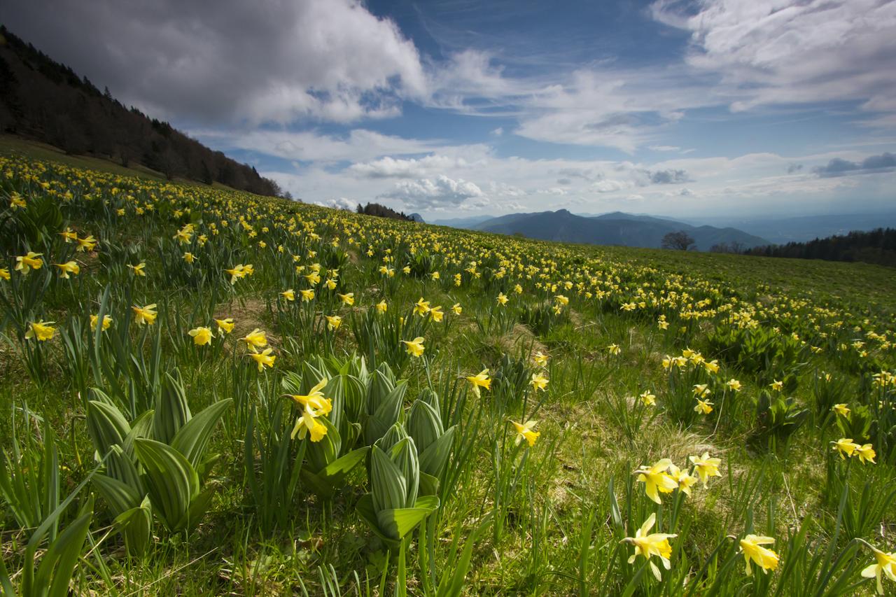
The Ecouges and the Fessole meadow

Saint-Gervais
The Ecouges and the Fessole meadow
5h
18km
+951m
-950m
Embed this item to access it offline
A hike to discover a preserved wilderness (classified Sensitive Natural Area). Les Ecouges is a place full of history with a mosaic of landscapes rich in biodiversity.
An unusual atmosphere along the cliffs when crossing the two Steps.
An unusual atmosphere along the cliffs when crossing the two Steps.
Description
Departure from Pont Chabert (parking), take the direction of Rivet. The forest road runs through the wood known as Les Bergers, passes at La Scie 1, then winds up to the Grandes Routes 2, to reach at the end of a long straight line Le Rivet 3 (belvedere on the valley proximity). The hike continues through the alpine pastures (thank you for closing the barriers behind you), follow the yellow and green markings and join Le Pré du Sabot 4. From there, join the Pas de Montbrand 5, then the Pas de Pierre Taillée 8 passing by Sous Montbrand 6 and Sous Pierre Taillée 7. Get off at Fessole 9 before returning to the crossroads of Pré du Sabot. From this crossing, the return to Pont Chabert takes place on the same route as on the way.
- Departure : lieu-dit Pont Chabert (parking), La Rivière
- Arrival : lieu-dit Pont Chabert (parking), La Rivière
- Towns crossed : Saint-Gervais, La Rivière, and Autrans
Forecast
Altimetric profile
Sensitive areas
Along your trek, you will go through sensitive areas related to the presence of a specific species or environment. In these areas, an appropriate behaviour allows to contribute to their preservation. For detailed information, specific forms are accessible for each area.
- Impacted practices:
- Contact:
- Alix Savine
Gestionnaire Espaces Naturels et Ruraux
Service Patrimoine Naturel
Direction de l’Aménagement
06 33 00 42 73
Golden eagle
- Impacted practices:
- , ,
- Sensitivity periods:
- JanFebMarAprMayJunJulAug
- Contact:
Recommandations
Please close the gates and barriers behind you!
Be careful in wet weather, some passages can be made delicate and slippery, caution!
Be careful in wet weather, some passages can be made delicate and slippery, caution!
Herd protection dogs
In the mountain pastures, the guard dogs are there to protect the herds from predators.
When I hike, I adapt my behaviour by going around the herd and pausing so that the dog can identify me.
Click here to see the video : c'est quoi au juste un chien de protection ?
Information desks
48 Grande Rue, 38680 Pont-en-Royans
49 route du Vercors, 38880 Autrans-Méaudre-en Vercors
Transport
By bus : With regional coaches T60 from Grenoble or Pont-en-Royans, to Saint-Gervais. You must reach then the walk by hitchhiking or carpooling.
By hitch hiking : You can get there / get back by hitching a lift with the Rezo Pouce network from Autrans-Méaudre, Lans-en-Vercors, Grenoble and Royans-Vercors (you can find all the stops in the Vercors on www.rezopouce.fr).
Carpooling :
Offer your services or book your carpooling on the regional Mov'Ici platform.
Access and parking
From Saint-Gervais, follow the D35 towards Col de Romeyère. After crossing the Canyon des Ecouges via a tunnel, park at the Pont Chabert car park.
From Balme-de-Rencurel, take the D35 to Col de Romeyère. After the Col, continue for 4 km to reach the Pont Chabert (parking).
From Balme-de-Rencurel, take the D35 to Col de Romeyère. After the Col, continue for 4 km to reach the Pont Chabert (parking).
Parking: Parking of the Pont Chabert
Report a problem or an error
If you have found an error on this page or if you have noticed any problems during your hike, please report them to us here:
