Chemins de la Liberté – The Path to Freedom: The Resistance Trail
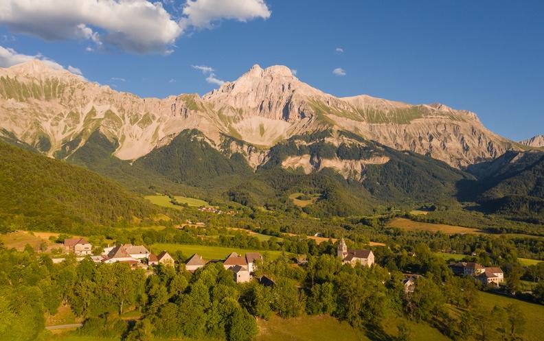
Lus-la-Croix-Haute

Chemins de la Liberté – The Path to Freedom: The Resistance Trail
3h30
7,8km
+591m
-598m
Embed this item to access it offline
Follow in the footsteps of the Tréminis Resistance fighters and learn about the historic events of October 19, 1943 when the Maquis were attacked by the German army.
You can buy a booklet from the Trièves tourist offices and Tréminis town hall to take with you on your hike.
You can buy a booklet from the Trièves tourist offices and Tréminis town hall to take with you on your hike.
Description
- At the Grand-Ferrand picnic car park, you will see a hut, which is the starting point for your hike. Take the wide track that climbs up. You need to head towards Col de la Croix via the Resistance Trail, passing through Les Fontettes, Fontaine des Boeufs and Refuge de la Croix.
- Once you’ve reached Col de la Croix (this pass connects the departments of Isère and Drôme), you can enjoy the views of the peaks all around, especially Dévoluy. Now follow the Resistance Trail towards L'Alpage de la Paille.
- From here, make for the old sheepfold following the yellow posts dotted across the mountain pasture. Take care when you come across herds of cows: make sure you go around them. The path goes down gently, leading to the old sheepfold that was destroyed during the Second World War. Then you’ll come to the old sheepfold signpost, and carry on until you get to the Amigoni Stele.
- Carry on to the Girardère signpost before making your way to the Grand-Ferrand picnic spot, 800 meters from your current position. And then you’ll be back at your starting point.
- Departure : Tréminis - Le Grand-Ferrand
- Arrival : Tréminis - Le Grand-Ferrand
- Towns crossed : Lus-la-Croix-Haute
Forecast
Altimetric profile
Sensitive areas
Along your trek, you will go through sensitive areas related to the presence of a specific species or environment. In these areas, an appropriate behaviour allows to contribute to their preservation. For detailed information, specific forms are accessible for each area.
Recommandations
Use the purpose-built throughways to cross fences; shut gates and barriers behind you.
Keeping to the signposted paths means you'll respect private property.
Take care when you come across herds of cows: make sure you go around them.
Take care on the descent: parts of the path may be tricky after rain. There is a metal staircase with around 10 steps you need to climb down.
Keeping to the signposted paths means you'll respect private property.
Take care when you come across herds of cows: make sure you go around them.
Take care on the descent: parts of the path may be tricky after rain. There is a metal staircase with around 10 steps you need to climb down.
Herd protection dogs
In the mountain pastures, the guard dogs are there to protect the herds from predators.
When I hike, I adapt my behaviour by going around the herd and pausing so that the dog can identify me.
Click here to see the video : c'est quoi au juste un chien de protection ?
Information desks
Transport
By Train:
From Grenoble go to Clelles train station
The OùRA multimodal route planner provides information about all the connections between regional trains, urban transport and departmental bus lines: https://www.oura.com/
By Bus :
Take the regional line T95 from Grenoble to Mens, then take ligne MEN03 (school schedule !)
Another option is to reach the start by hitchhike or carpooling.
By hitch hiking : You can get there / get back by hitching a lift with the Rezo Pouce network from Autrans-Méaudre, Lans-en-Vercors, Grenoble and Royans-Vercors (you can find all the stops in the Vercors on www.rezopouce.fr).
Carpooling :
Offer your services or book your carpooling on the regional Mov'Ici platform.
Access and parking
From Grenoble, take the A51 towards Gap, then the D1075/E712 in the direction of Mens. At Col de Fau, follow the D34 towards Mens. After Mens, continue on the D66 and then the D216 to Tréminis.
Parking :
the Grand-Ferrand picnic car park
More information
Report a problem or an error
If you have found an error on this page or if you have noticed any problems during your hike, please report them to us here: