VERCORS OUTDOOR
EN
FR
EN
Search
Menu
Filters
1
Activities
Practice
By walk
By mountain bike
Itinerant hike
Trail
nordic ski touring
Difficulty
Duration
0 - 1h
1h - 2h
2h - 5h
5h - 10h
Length
0 - 5km
5km - 10km
10km - 15km
15km - 50km
Ascent
0 - 250m
250 - 500m
500m - 1km
> 1km
Type
Accessibility
Others
National nature reserve of Vercors Hauts plateaux
Herd protection dogs
Outdoor
Themes
Themes
Themes
Localization
Localization
City
District
4 Montagnes
Diois
Gervanne
Piémont Nord
Royans-Drôme
Royans-Isère-Coulmes
Trièves
Vercors-Drôme
Structure
PNRV
Clear all
66 results
66 results practice: By walk
1
Filter
Search
Search
Display Map
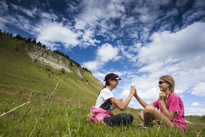
S&M Booth
By walk
Saint-Jean-en-Royans
The Echarasson pass
3h
8,8km
+406m
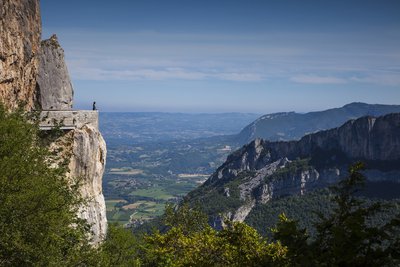
A proximité du Pas de l'Echo - S. Bossand
By walk
Oriol-en-Royans
The Echo pass
4h30
9,9km
+528m
S&M Booth
By walk
Saint-Gervais
The Ecouges and the Fessole meadow
5h
18km
+951m
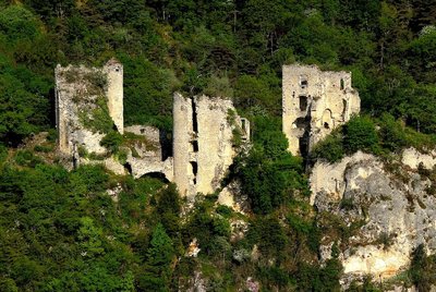
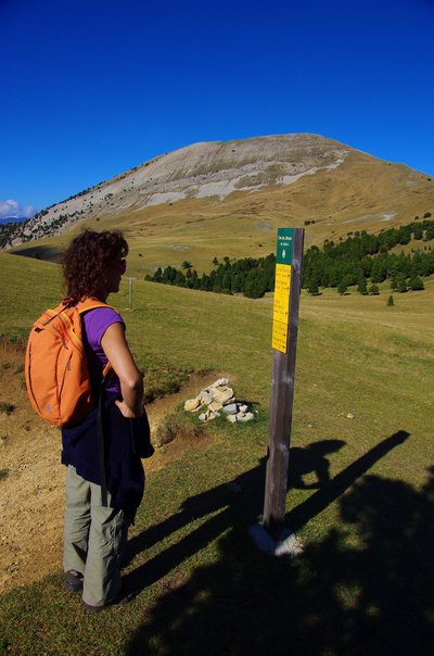
Ruines de Château de Rochechinard - OT Royans
By walk
Rochechinard
The feudal castel ruins
1h
4km
+230m
M. Rocheblave
By walk
Le Gua
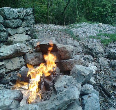
The fiery fountain /fontaine ardente (eternal flame)
1h30
5,2km
+192m
Rencurel - S.M Booth
By walk
Rencurel
The Follet pass
2h30
5,8km
+326m
S&M Booth
By walk
Vassieux-en-Vercors
The Gagères via the Chau pass
4h30
11,8km
+612m
M. Rocheblave
By walk
Saint-Agnan-en-Vercors
The Grand Veymont from the Beure plateau
11h
30,8km
+1664m
S&M Booth
By walk
Engins
The Molière plateau
1h30
4,9km
+176m
A proximité du Mont Barral - E. Charron
By walk
Treschenu-Creyers
The Mont Barral
3h
10,6km
+786m
Previous page
Next page
Loading