Walk via the Haut-Plateaux du Vercors
3 steps
Description
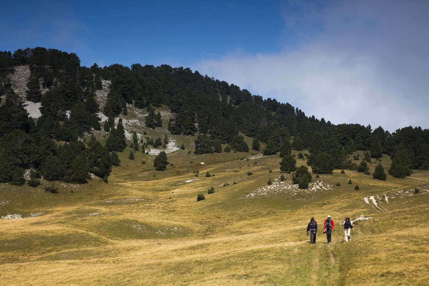
A variant to Grand Tour du Vercors, the Hauts-Plateaux crossing is a 55 kilometre trail at the heart of the Natural Reserve.
Created in 1985, the Reserve nestles at the heart of the Vercors Park. With its 17,000 hectares, it is the largest Natural Land Reserve in mainland France.
Whilst the Reserve retains a wild aspect, it requires daily management by the Vercors Park, in collaboration with local institutions (NFO, towns) and the professional users of the land. Work is regularly carried out to preserve the fauna, flora, building heritage; to facilitate the work of the breeders and farmers, tap water sources... Rangers carry out the main takes on the Reserve: scientific work, welcome, information, environmental education, nature protection...
Although it is open to all, the Reserve still needs to be protected, respected and cared for by visitors...
For Practical information: see "Recommendations".
- Departure : Corrençon-en-Vercors (village)
- Arrival : Châtillon-en-Diois (village)
- Towns crossed : Corrençon-en-Vercors, Saint-Andéol, Saint-Agnan-en-Vercors, Gresse-en-Vercors, Chichilianne, Romeyer, Laval-d'Aix, and Châtillon-en-Diois
Forecast
Altimetric profile
Recommandations
Nature doesn't belong to anyone, and its use is shared by all.
Take part in protecting the Vercors Hauts-Plateaux by complying with the regulations:
- Camping prohibited: bivouacs are authorised from 5pm to 9am.
- Fires prohibited.
- Dogs prohibited, even on leads.
- No flower picking.
- Mountain biking is restricted to certain itineraries.
The trails do not hold any major difficulties in good weather. However, bad weather may make direction-finding very difficult.
In summer, one of the main difficulties in this crossing is managing water resources.
Sources are often dry, find out about their state before leaving on the Vercors Rando website under the Info Source heading.
Don't hesitate to ask the professionals who have perfect knowledge of the sector.
Warning, no or reduced mobile phone networks!
Ensure that the fauna is not scared by your presence. Observe it from a distance, especially in winter, when food resources are scarce and animals weak.
Also respect the work of shepherds by going around flocks: do not enter shepherd cabins, or sheep pens, and keep well away from the dogs that protect the flocks.
Use the installed passages to cross fences, close gates and barriers, stay on the marked trails.
Stay on the marked trails and respect private property.
Have a great stay in the Haut-Plateaux du Vercors!
Information desks
Square Jean Giono, 26410 Châtillon-en-Diois
101 place Mure-Ravaud, 38250 Villard-de-Lans
Place Pietri, 26 420 La Chapelle-en-Vercors
Transport
By bus :
Take the regional coaches T64 by Engins or T65 by Saint-Nizier-du-Moucherotte to go to Corrençon.
From the end
En bus :
ligne 29 Die - Beaurières going through Châtillon-en-Diois until Die city.
The OùRA multimodal route planner provides information about all the connections between regional trains, urban transport and departmental bus lines: https://www.oura.com/
By hitch hiking : You can get there / get back by hitching a lift with the Rezo Pouce network (you can find all the stops in the Vercors on www.rezopouce.fr).
Carpooling :
Offer your services or book your carpooling on the regional Mov'Ici platform.
Access and parking
Parking :
Report a problem or an error
If you have found an error on this page or if you have noticed any problems during your hike, please report them to us here:


