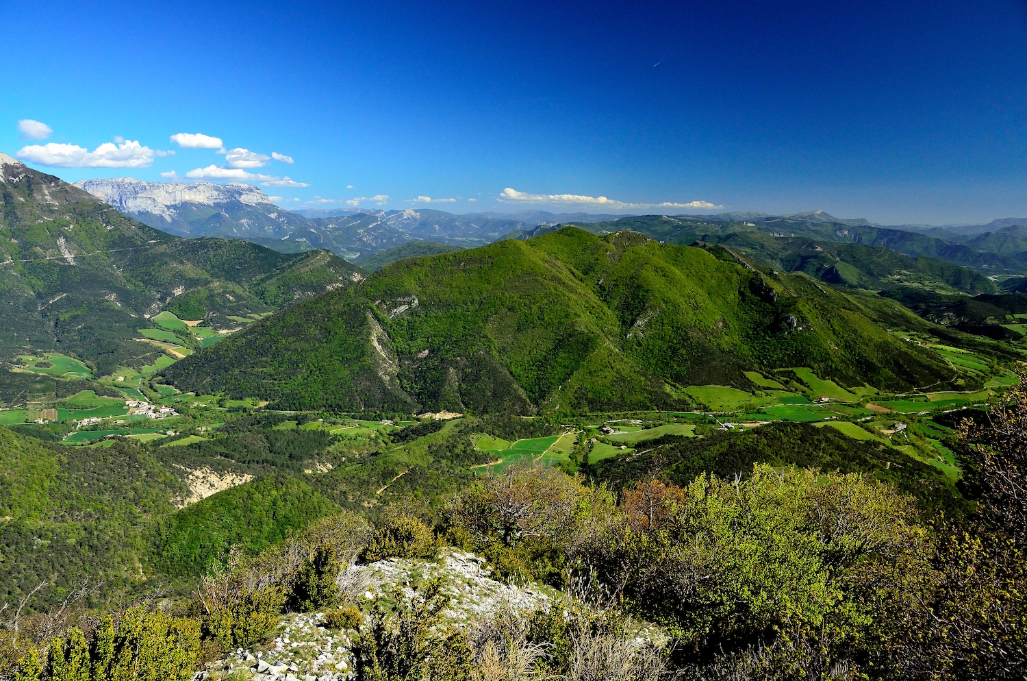
Sainte-Croix / Saint-Julien-en-Quint (stage 10)

Sainte-Croix
10. Sainte-Croix / Saint-Julien-en-Quint (stage 10)
4h
14,3km
+544m
-384m
Embed this item to access it offline
This tour will take you through the enchanting landscapes of the Val de Quint.
Description
After leaving the village of Sainte-Croix, the route winds its way through the vineyards as far as Col de Vachères pass (1). A scenic little trail leads to the village of the same name. You then climb up the very wild val de Quint alongside the river Sure via Vachères-en-Quint (2) and Les Touzons (3), switching between tracks and roads as far as the village at the base of the valley, Saint-Julien-en-Quint, located at the foot of the Vercors.
- Departure : Sainte-Croix (village centre)
- Arrival : Saint-Julien-en-Quint
- Towns crossed : Sainte-Croix, Vachères-en-Quint, Saint-Andéol, and Saint-Julien-en-Quint
Forecast
Altimetric profile
Sensitive areas
Along your trek, you will go through sensitive areas related to the presence of a specific species or environment. In these areas, an appropriate behaviour allows to contribute to their preservation. For detailed information, specific forms are accessible for each area.
Golden eagle
- Impacted practices:
- , ,
- Sensitivity periods:
- JanFebMarAprMayJunJulAug
- Contact:
Recommandations
Take care: when the weather is hot in summer, this sector offers little shade: make sure you take ample water with you as well as sun protection, including sunscreen, a hat or other essentials.
Use the installed passages to cross fences, close gates and barriers.
Stay on the marked trails and respect private property.
Collect your waste, think nature.
Please note that dogs are not allowed in most mountain pastures, even on a lead, so make arrangements before you leave!
Use the installed passages to cross fences, close gates and barriers.
Stay on the marked trails and respect private property.
Collect your waste, think nature.
Please note that dogs are not allowed in most mountain pastures, even on a lead, so make arrangements before you leave!
Information desks
Transport
By train : Die train station
The OùRA multimodal route planner provides information about all the connections between regional trains, urban transport and departmental bus lines : https://www.oura.com/
By bus : With Regional coaches line 28
Valence-Die.
Then transport on demand (TAD) for a journey connecting with the network; more information on the detailed information sheet for connecting services or on https://www.mairie-die.fr/transport-a-la-demande/; Booking: +334 8000 7000
The previous day before 5pm (Friday before 4pm if booked for Saturday or Monday, excluding Sundays and public holidays)
Carpooling :
Offer your services or book your carpooling on the regional Mov'Ici platform.
Access and parking
From the D93 departmental road take the D129 road to Sainte-Croix; the main car park is at the entrance to the village.
Report a problem or an error
If you have found an error on this page or if you have noticed any problems during your hike, please report them to us here:
