Between Mont Aiguille and Grand Veymont
Gresse-en-Vercors


Between Mont Aiguille and Grand Veymont
5h
14,3km
+903m
-904m
Embed this item to access it offline
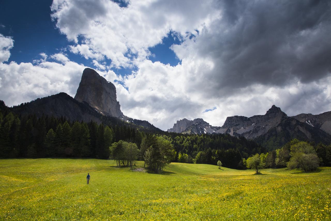
A varied route that takes you to the foot of the Grand Veymont with superb views of famous Mont Aiguille.
6 points of interest
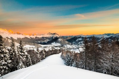
Gresse-en-Vercors - V.Viargues Ski resort of Gresse-en-Vercors
Since 1965, Gresse-en-Vercors has hosted a small 24-lane ski resort, located between 1250 m and 1750 m altitude. Nordic skiing is also present, with 50 km of groomed trails.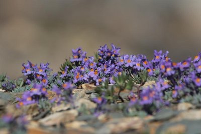
Linaria alpina, flore des éboulis - Jean Andrieux Life in the rock
In scree slopes, life conditions are difficult for plants, and the fallen rock debris can become unstable and migrate slowly downslope by solifluxion. Many different strategies can be adopted by plants to survive.
Studies conducted in the Pyrenees have shown there are two strategies:
1/ Immigrant lithophilic plants can anchor and extend their roots even while the rockslides are moving,
2/ Some trees such as hook pine are able to stretch
their trunks while remaining anchored far upslope.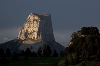
Mont Aiguille - S&M Booth Mont Aiguille
The Mont Aiguille, from its 2087 meters, is a mound of the eastern barrier of the Vercors. Indeed, the Mount is composed of the same materials as the rest of the plateau (limestones and marls deposited by the sea before the rising of the Alps) to which it was formerly attached. The most tender limestones and the presence of numerous faults facilitated the dissolution of the limestone over time, leading to the isolation of Mount.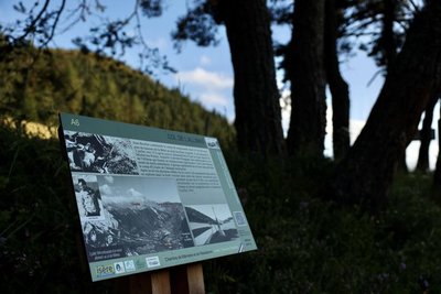
Z. Hudzikova Ambush at Col de l'Allimas
On July 24, 1944, German troops went looking for a young member of the Resistance called Georges Mouttet. He was not in when the troops arrived at the family home, but they interrogated his widowed mother, Blanche Mouttet, with great brutality. Her cries were heard by the woman living next door.
When the torturers didn’t find out the information about her son they had come looking for, they finished Blanche off with blows from a pickaxe. Her body was burnt in her own home, the fire spreading to the rest of the hamlet, sparing the only house on the other side of the road.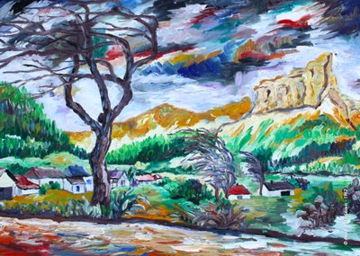
A. Lyoubovin Romantic Mont Aiguille
The Romantic movement reached its peak in the 19th century. Mont Aiguille became a key subject of landscape paintings, often in tandem with agricultural scenes that depicted an ideal of harmony. Mont Aiguille offered these Romantic artists an aesthetic that you can explore from the various angles offered by the surrounding summits and plateaus.
The style of the period depicts an idealised Mont Aiguille, the symbol of nature in all its harmony. Humans make only discreet appearances, pictured performing their daily tasks or in contemplation. The paintings convey a serenity and tranquillity that contrasts strongly with the hustle and bustle of our lives in the modern world.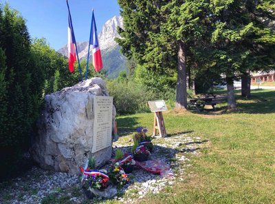
B. Brun-Cosme Stone of Remembrance
After the Allied landings on June 6, 1944, growing numbers of Resistance fighters climbed the south-eastern edge of the Vercors to join the Maquis who had gathered in the mountains, which was now a very attractive proposition for them. But few men were on hand to guard these high, narrow passages when the 157th Alpine Reserve Division launched a widespread attack on July 21, 1944. Under the command of General Pflaum, the aim of the Germans was to crush the Vercors Maquis. In spite of the courage and bravery they showed during the fighting, the watchmen were quickly overcome by an enemy with superior numbers and weapons. The order to disperse was received on July 23, leaving military victory to the Germans. Resistance fighters from inside the plateau were also cut down when they tried to exfiltrate through the passes. This stone, placed symbolically at the foot of the Pas de la Ville, serves as a reminder of them.
Description
- From Champ de l'Herse, follow the track to the left of the little bridge in the direction of the Baraque du Veymont (an unmanned open forest shelter). Then head for Tiolache, Au Barri and La Bâtie.
- Carry on until you reach the Ruisseau de Chauplane stream and the Col de l'Allimas pass, where you can drink in the breathtaking view of Mont Aiguille.
- To get back to where you started your walk, carry on following the signs as you pass through Pas de Bru, Combe Rouge, Aux Fayolles, Côte Emblay and Girard. And now you are back at the Champ de l'Herse.
- Departure : Gresse-en-Vercors - From Champ de l'Herse
- Arrival : Gresse-en-Vercors - From Champ de l'Herse
- Towns crossed : Gresse-en-Vercors
Forecast
Altimetric profile
Recommandations
Be careful in winter : the route is impassable and is also very tricky in spring because of snowslides! (ask at the tourist offices before setting off).
Use the purpose-built throughways to cross fences; shut gates and barriers behind you.
Keeping to the signposted paths means you'll respect private property.
Use the purpose-built throughways to cross fences; shut gates and barriers behind you.
Keeping to the signposted paths means you'll respect private property.
Information desks
43, route du Grand-Veymont, 38650 Gresse-en-Vercors
Transport
Access and parking
From Grenoble, take the A51 south to Monestier-de-Clermont before heading for Gresse-en-Vercors along the D8. Now walk to the far end of the ski resort car park to get to Champ de l'Herse.
Parking :
Champ de l'Herse
Report a problem or an error
If you have found an error on this page or if you have noticed any problems during your hike, please report them to us here:
