Chemins de la Liberté – The Path to Freedom: Maquisard walk
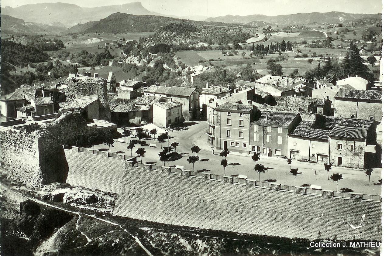
Beaufort-sur-Gervanne


Chemins de la Liberté – The Path to Freedom: Maquisard walk
1h30
4,9km
+131m
-132m
Embed this item to access it offline
A ramble designed by Les Amis de la Maison de la Résistance Mathias Mathieu
7 points of interest
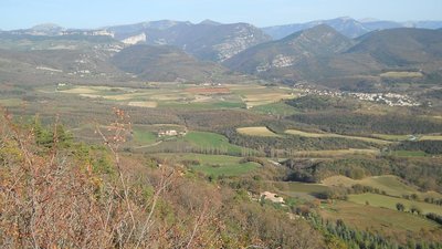
Vallée de la Gervanne - Les Amis de la Maison de la Résistance Mathias Mathieu The Resistance in Gervanne
In 1943, the first Maquis in France took up residence in the village of Omblèze.
The Gervanne valley was at the heart of the south-western defensive system in the Vercors during the events of 1944.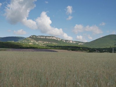
Les Amis de la Maison de la Résistance Mathias Mathieu The Resistance command posts
In January 1943, Marcel Barbu, founder of the Boimondau factory and community in Valence, bought the Mourras farm on the Combovin plateau, where he set up a camp for recusants (réfractaires in French) – men and women who refused to work for the Germans.
A training school for Resistance officers was also organised there.
A group of 40 or so Resistance members relocated to the village in late October 1943.
Michel Prunet took command in late January of the following year. Alongside his men, he forged close ties with the people living in the valley, with some of the farms serving as command posts for the FFI (French Forces of the Interior).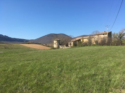
La ferme des Freydière - Les Amis de la Maison de la Résistance Mathias Mathieu Provisions and supplies
Members of the Maquis made their bread in total secrecy at the Frédières farm. The flour was transported to the oven at night from the Moulin du Roy mill to the south of the village of Beaufort. It was also made covertly at the two village bakers in Beaufort.
Please respect private property: keep to the path.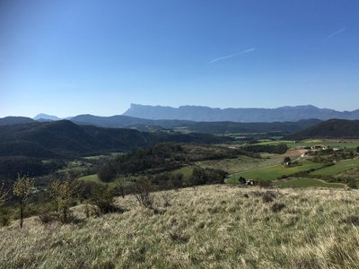
Vue sur le massif des 3 Becs - Les Amis de la Maison de la Résistance Mathias Mathieu The destruction of local villages
After two bombing raids on June 22 and 28, 1944, the enemy forces approached from the Drôme valley to the south and attacked the village on July 27.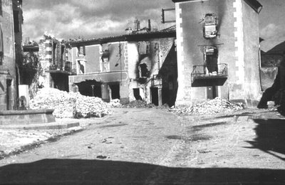
Le village est anéanti par les flammes - Les Amis de la Maison de la Résistance Mathias Mathieu - Collection Joël Mathieu Beaufort: in the eye of the storm
After barricading the south of the village, the Germans overran it from the west and the left bank of the Gervanne to the east. At five in the afternoon, after eight hours of fighting, the enemy withdrew – but before retreating some of the soldiers in the Ost Battalion burned and pillaged the village.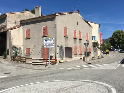
Maison de "la reconstruction" - Les Amis de la Maison de la Résistance Mathias Mathieu Rebuilding
On walking down the Vercors road, you will have seen a large number of so-called “reconstruction” houses (with grey rendering on the facades).
In 1944, the "reconstruction" often reshaped the architectural appearance of the village.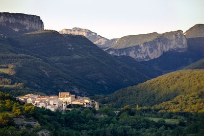
Beaufort S/ Gervanne - PNRV Beaufort-sur-Gervanne
With its vaulted passages, its old lanes full of history, its houses imbricated one in the other, Beaufort emits a little air of Provence. On the village square, the keep of an old castle, converted into a public garden will welcome you for a short stop. But it is especially in the Temple that the history of the village is read. Beaufort was indeed an important place of Protestantism.
Description
- Start from the Champ de Foire car park and head to Les Chaux.
- After information point 1, turn left towards Frédières farm.
Carry on to information points 2 and 3 until you reach the edge of the woods. Where the tracks meet, head for Beaufort-sur-Gervanne. - Please note: after the loop to the left going towards Beaufort (after about 500 meters), make sure you take the track that goes up to the left into the meadow all the way to the summit (information point 4), then stay on the ridge. Make your way to information point 5 and head to the D732.
- On the D732, turn right then drop down near the first house on the Chemin du Colombier. Head to la Poste and walk down to the right past the Hôtel du Midi to get to the roundabout. Go back up to the left to reach the village square. On the square, take the first street immediately to the right in the direction of the Mairie (Town Hall) to get to the Old Village, where you can enjoy a stroll. Back on the square, you can walk through the public gardens before making your way to the esplanade. At the end of the esplanade, take the Grand' Rue to head back to your starting point.
- Departure : Beaufort-sur-Gervanne
- Arrival : Beaufort-sur-Gervanne
- Towns crossed : Beaufort-sur-Gervanne and Gigors-et-Lozeron
Forecast
Recommandations
Use the purpose-built throughways to cross fences; shut gates and barriers behind you.
Keeping to the signposted paths means you'll respect private property.
Keeping to the signposted paths means you'll respect private property.
Information desks
Place du Général de Gaulle, 26400 Crest
Transport
By train :
Crest Train station
The OùRA multimodal route planner provides information about all the connections between regional trains, urban transport and departmental bus lines: https://www.oura.com/
By Bus :
From Valence or Crest, take the regional bus service, line D25
By hitch hiking :
Discover Rezo Pouce service with all the official stops on https://www.rezopouce.fr
Carpooling :
Offer your services or book your carpooling on the regional Mov'Ici platform.
Access and parking
From Crest, follow the road D93 and then the D70 going to Beaufort-sur-Gervanne
Parking :
Champ de Foire car park
Report a problem or an error
If you have found an error on this page or if you have noticed any problems during your hike, please report them to us here:
