GTV by Moutain bike - Rencurel / Autrans (stage 5)
Rencurel
5. GTV by Moutain bike - Rencurel / Autrans (stage 5)
2h30
25,9km
+1207m
-972m
Note: the times shown do not include rest stops and breaks. This time may vary according to each person's level of ability.
Embed this item to access it offline
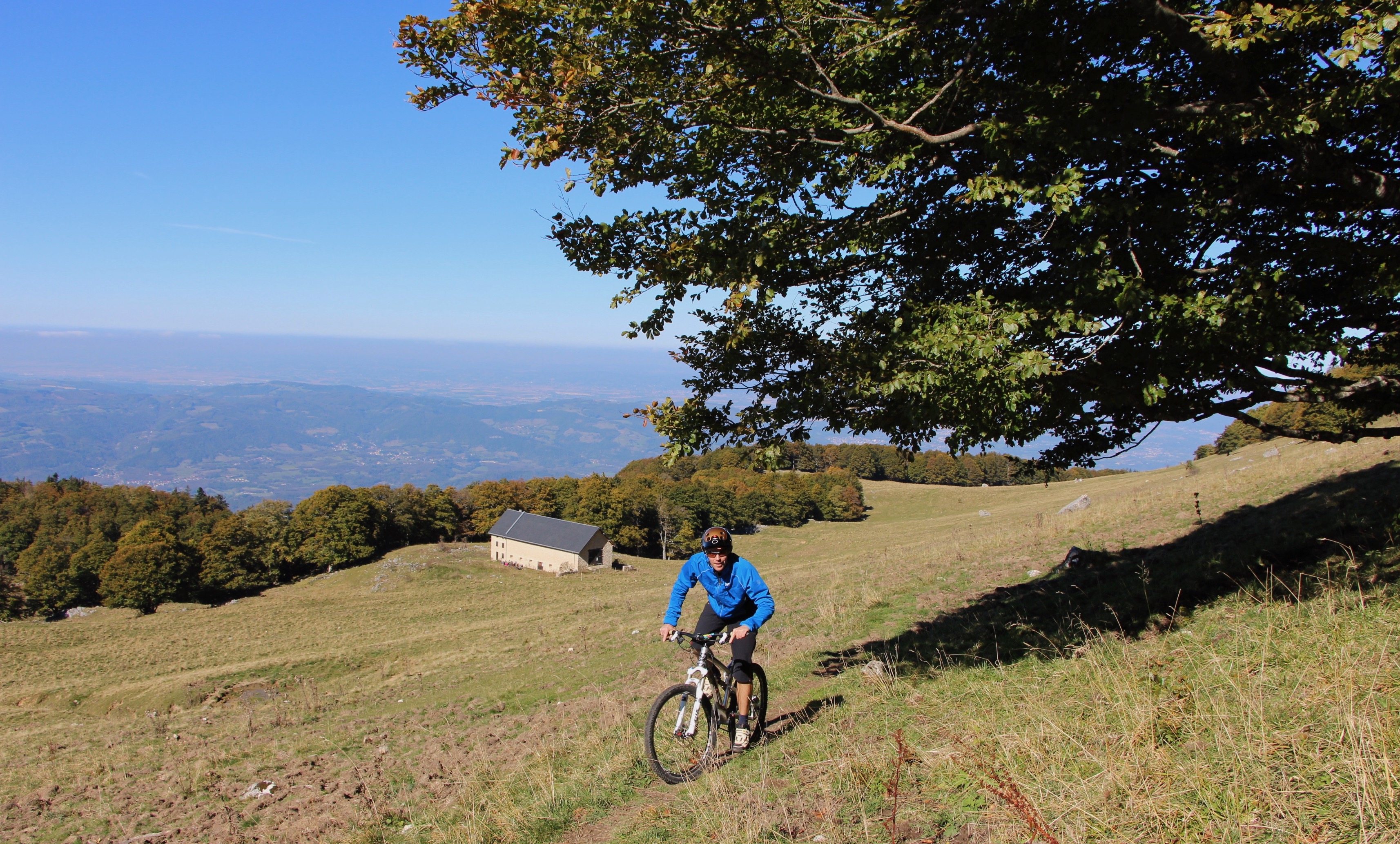
It’s a short stage but one that will hurt your calves! Now there’s a transition from the Coulmes sector to Quatre Montagne via Pas de Pierre Taillée, which you’ll have to cross on foot as you carry your bike a short distance. It’s a challenging part, but if the weather is fine, it's spectacular! An easy descent to Autrans now follows.
Description
- From the pass, you head to pont Chabert along a wide downhill road.
- From pont Chabert, the route runs through the heart of the departmental domain of Écouges (a nature conservation area). This part of the tour is largely through forest, with the exception of a few clearings such as le Rivet.
- It ends on a wide forest path to reach the old farm of Fessole and its meadows.
- From here you will need to negotiate the tricky climb to the Pas de Pierre Taillée (see the recommendations); it’s quite short but can be dangerous in bad weather.
- The descent on the Autrans side is straightforward as you follow a wide forest track to the crossroads of La Côte at 1,327m before descending to the combe de Nave. A pretty little path now leads to the village of Autrans.
- Departure : Rencurel
- Arrival : Autrans
- Towns crossed : Rencurel, Rovon, Saint-Gervais, La Rivière, and Autrans
Forecast
Altimetric profile
Sensitive areas
Along your trek, you will go through sensitive areas related to the presence of a specific species or environment. In these areas, an appropriate behaviour allows to contribute to their preservation. For detailed information, specific forms are accessible for each area.
- Impacted practices:
- Contact:
- Alix Savine
Gestionnaire Espaces Naturels et Ruraux
Service Patrimoine Naturel
Direction de l’Aménagement
06 33 00 42 73
Golden eagle
- Impacted practices:
- , ,
- Sensitivity periods:
- JanFebMarAprMayJunJulAug
- Contact:
Ecouges summer pasture
Alpine pasture without guard dogs (cattle).
Private dogs are forbidden, even on a lead.
Private dogs are forbidden, even on a lead.
- Impacted practices:
- ,
- Sensitivity periods:
- JunJulAugSep
- Contact:
Recommandations
Be careful when crossing the Pas de Pierre Taillée. This section requires you to push or even carry your bike on both sides of the Pas, around 500 metres from the Ferme de Fessole and around 200 metres on the Autrans side.
The trails can be slippery in rainy conditions!
Collect your waste, think nature.
The trails can be slippery in rainy conditions!
Collect your waste, think nature.
Information desks

Transport
Bus: T60 regional bus service from Grenoble train station, Saint-Gervais stop, then taxi.
The OùRA multimodal route calculator gives you access to all the connections between regional trains, urban transport and departmental bus routes: https://www.oura.com/
The OùRA multimodal route calculator gives you access to all the connections between regional trains, urban transport and departmental bus routes: https://www.oura.com/
Access and parking
From Saint-Gervais, head for the Ecouges canyon via the D35 and the Romeyère pass (Col de Romeyère). Stop at the village of Rencurel.
From Pont-en-Royans, follow the Gorges de la Bourne on the D531 to La Balme-de-Rencurel, from where take the D35 towards the Col de Romeyère. Stop at the village of Rencurel.
From Villard-de-Lans, head for the Gorges de la Bourne on the D531 as far as La Balme-de-Rencurel, then head for the Col de Romeyère on the D35. Stop at the village of Rencurel.
Parking :
A few parking spaces in front of Rencurel church
More information
Report a problem or an error
If you have found an error on this page or if you have noticed any problems during your hike, please report them to us here: