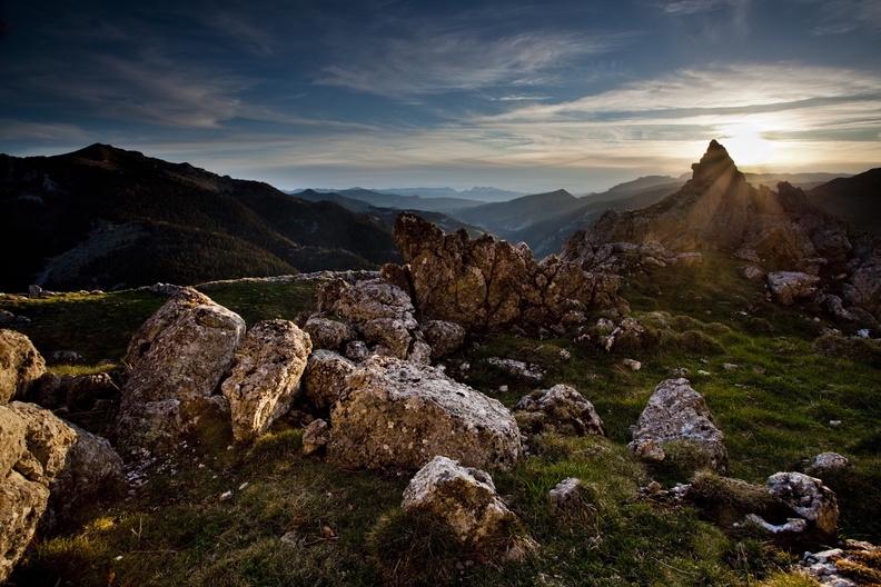
East-West crossing of the Vercors on the GR®93 - Stage 7
Glandage


7. East-West crossing of the Vercors on the GR®93 - Stage 7
2h30
7,9km
+321m
-396m
Embed this item to access it offline
This is the final small push before the great adventure comes to an end.
Description
- From Grimone, head to Col de Grimone, Les Chaumets, Les Fauries, Les Villageois, Chemin du Grand Logis, Le Grand Logis to reach Lus-la- Croix-Haute.
At Col du Charnier, the GR®93 leaves the department of the Drôme for the Hautes-Alpes. It carries on inside the Dévoluy, coming to an end at Roche-des-Arnauds, not far from Gap.
- Departure : Grimone
- Arrival : Lus-la-Croix-Haute
- Towns crossed : Glandage and Lus-la-Croix-Haute
Forecast
Altimetric profile
Recommandations
Use the installed passages to cross fences, close gates and barriers.
Stay on the marked trails and respect private property.
The trails can be slippery in rainy conditions!
Do not cross hay meadows or cultivated fields.
Stay alert in spring: snowfields can last late into the season! (Check with the tourist office before setting out).
Important: when the weather is hot in summer, make sure you take ample water with you as well as adequate sun protection, including sunscreen, a hat or other essentials.
Parts of the route are at high altitude and may be covered in snow in winter. These sections may be impassable depending on your mode of transport.
Herd protection dogs
In the mountain pastures, the guard dogs are there to protect the herds from predators.
When I hike, I adapt my behaviour by going around the herd and pausing so that the dog can identify me.
Click here to see the video : c'est quoi au juste un chien de protection ?
Information desks
10 Place des Lucioles, 26620 Lus-la-Croix-Haute
Transport
By train :
Valence TGV train station
Lus-la-Croix-Haute SNCF train station
Calculate your route on https://www.oura.com
By bus: Regional coaches n°31 Grenoble-Marseille which passes through Lus-la-Croix-Haute
Transport on request :
RESERVATION / CANCELLATION: +334 8000 7000
The previous day before 5pm (Friday before 4pm when booking for Saturday)
Regular service (set times and stops)
Transfer service
Carpooling:
Offer or book your carpool with the Mov'Ici regional platform.
Report a problem or an error
If you have found an error on this page or if you have noticed any problems during your hike, please report them to us here: